19th-Century Map Shows That Beaver Dams Can Last Over a Century

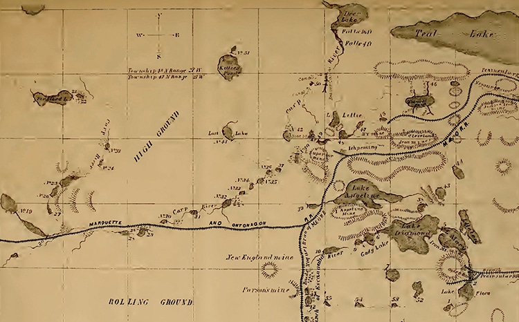
Historic beaver dams marked in Michigan's Upper Peninsula. (Photo: “The American Beaver and his Works,” by Lewis Henry Morgan, 1868)
The American beaver is a mighty creature. Once incredibly numerous, they figured heavily in indigenous worldviews in the Americas. When Europeans arrived, they prized the beaver for its pelt, and it was hunted almost to extinction over the following centuries. However, these small mammals have been part of another enduring legacy through their effect on the changing American landscape. In fact, one enthusiast recorded the dams created by beavers in the mid-19th century—and nearly 75% of those he noted are still visible today.
Lewis Henry Morgan was a railroad magnate and politician with a passion for anthropology and natural sciences. Michigan's Upper Peninsula turned out to be fascinating to him as he planned his railroad through the state. Throughout the 1850s and 1860s, he observed the beaver, (apparently) his new favorite creature.
This observation yielded an impressive 396-page book impressively entitled The American Beaver and His Works. Within each folio was tucked a map of the Ishpeming, Michigan, area. Sixty-four beaver dams dot the landscape, interrupting streams and creating ponds. To create such a map, Morgan used his own naturalist skills combined with the drawing techniques of his railroad engineers. It was published in 1868.
So what have the busy beavers been up to in Michigan in the past century and a half? As it turns out, largely maintaining these historic dams. Despite the loss of habitat and population, 46, or 75%, of the dams Morgan noted are still visible on the landscape. Ecologist Carol Johnston of South Dakota State University in Brookings published a study after she discovered Morgan's map, which was largely lost to obscurity. Using modern aerial footage, Johnston was able to verify whether there are remains of the historic dams. She discovered a vast amount remain, although some have clearly been abandoned. This suggests generations of beavers have continued to create ponds in the same strategic places.
“[T]he remarkable consistency in . . . pond placement over the last 150 years is evidence of the beaver's resilience,” Johnston said. “We've suspected that some beaver features can persist a very long time, but this is a very cool . . . way of quantifying it.”
As it turns out, Morgan was right in the end when he wrote, “These dams have existed in the same places for hundreds and thousands of years [and] have been maintained by a system of continuous repairs.”
A hundred and fifty years ago, a map recorded beaver dams in Michigan. Many are still there today, demonstrating the incredible building power of these little mammals.

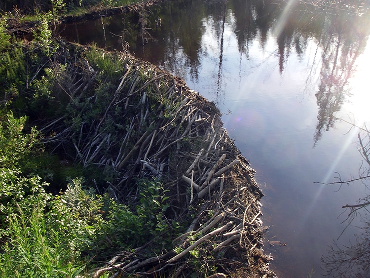
A beaver dam in Sweden. (Photo: Lars Falkdalen Lindahl via Wikimedia Commons, CC BY-SA 4.0)
Beavers are ingenious and capable of building very long-lasting stick and rock creations.

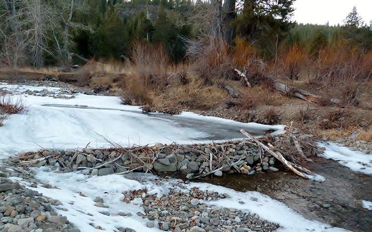
Beaver dam in Bear Creek, Alpine Meadows, California. (Photo: Schmiebel via Wikimedia Commons, CC BY-SA 3.0)

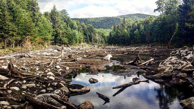
A partially drained beaver pond in the Adirondack Mountains, New York. (Photo: Second Sender via Wikimedia Commons, CC BY 4.0)
h/t: [Treehugger, Science]
Related Articles:
Art History: Ancient Practice of Textile Art and How It Continues to Reinvent Itself
Sister Duo Weaves Textured Wall Hangings Inspired by Australian Landscapes
How to Crochet: Learn the Basics of This Time Honored Handicraft
Artist Fills Forest with Life-Size Sculptures Made from Woven Rods of Willow
READ: 19th-Century Map Shows That Beaver Dams Can Last Over a Century


0 Commentaires